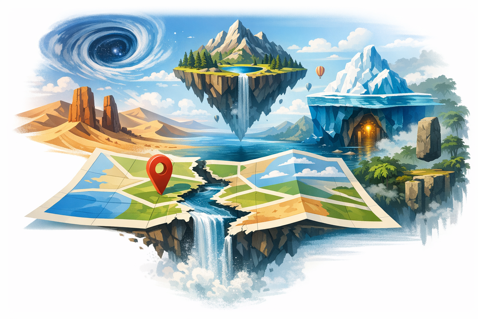
Introduction: The Enigmatic Geography
Maps are the steady companions of explorers and adventurers, guiding us through unfamiliar terrains. Yet, some places defy even the most detailed cartographic efforts, leaving borders blurred and islands vanished. Welcome to the peculiar world of geo-anomalies, where landscapes shift as if by magic, challenging our perceptions and testing the limits of human geography.
The Phantom Islands: Now You See Them, Now You Don't
Imagine setting sail for an island, only to find it doesn’t exist. Throughout history, explorers have stumbled upon phantom islands—places that appeared on maps but vanished from reality. One famous example is Sandy Island, located in the Coral Sea. Listed on maps for over a century, it vanished from charts in 2012 when an Australian research vessel confirmed its nonexistence. So, how did it end up on maps in the first place? Perhaps it was a mirage, or maybe human error. Regardless, Sandy Island remains a testament to the mysteries lurking in our oceans.
The Puzzle of Shifting Borders: Villages That Move
While islands may vanish, borders can shift in the blink of an eye. Take Baarle-Nassau in the Netherlands and Baarle-Hertog in Belgium, where a complex collection of enclaves leaves residents hopping from one country to another by crossing the street. This intricate border puzzle traces back to medieval treaties and land exchanges, creating a fascinating quirk in modern-day governance. Here, a walk through town can turn into a transnational journey, offering a delightful challenge for cartographers.
Rivers in Flux: The Ever-Changing Mississippi
Rivers are notorious for their capricious nature, and nowhere is this more evident than in the case of the Mississippi River. Known for its ever-shifting course, the river has a history of leaving communities stranded or suddenly placing them under a different jurisdiction. Historical events like the New Madrid earthquakes of the 1800s exacerbated this, causing dramatic shifts in the river’s path. For cartographers, the Mississippi is a living lesson in geographical unpredictability.
The Disappearing Lakes: Mystery of the Aral Sea
Not all geo-anomalies are fleeting. Some, like the Aral Sea, tell a sad story of ecological transformation. Once the fourth-largest lake in the world, it has dwindled dramatically due to Soviet-era irrigation projects. The remaining water bodies constantly morph, complicating efforts to map the region. The Aral Sea’s fate serves as a stark reminder of human impact on the natural world, challenging mapmakers to adapt to rapidly changing landscapes.
The Curious Case of Null Island
While not physically real, Null Island is an infamous blip in the world of geographic data—located at 0°N 0°E in the Gulf of Guinea. Used as a placeholder in mapping systems, this “island” emphasizes how digital mapping systems cope with zero-data errors. Although nonexistent, Null Island has become a quirky fixture in the mapping community, a virtual landmark in the ocean's expanse.
Conclusion: The Ever-Evolving Map
From phantom islands to shifting rivers, the world’s geo-anomalies highlight the dynamic nature of Earth’s landscapes. They remind us that maps, while incredibly useful, are only static representations of a world in perpetual motion. As cartographers strive to capture these changes, they invite us to embrace the uncertainties of geography, where every anomaly holds a story worth exploring.